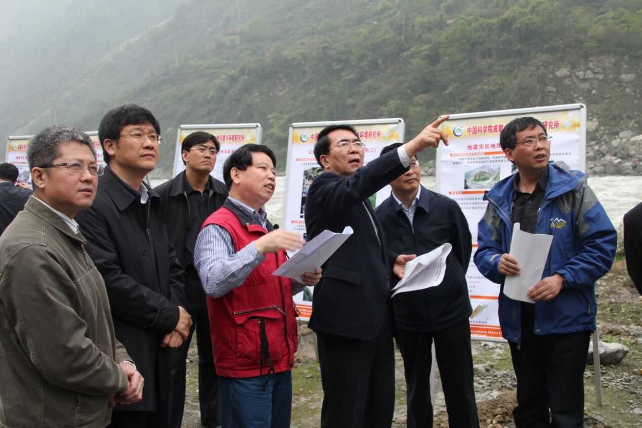
An unmanned aircraft vehicle (UAV) united team, which consists of UAV team from Institute of Mountain Hazards and Environment (IMHE), CAS, Beijing Always Flaying Technology Co., Ltd, and Xiamen Meiya Pico Company, accomplished remote sensing monitoring of disaster and secondary geo-hazard in quake zone and returned to Chengdu on April 27, 2013.
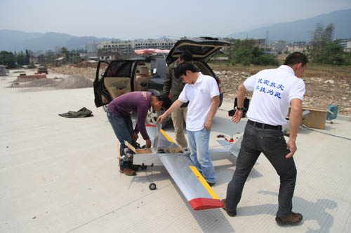 |
| UAV is under the asembly process. (picture by IMHE) |
As the only approved UAV team by the air traffic control department, the UAV united team flew around the quake zone 12 times, covering 200 sq km, and obtained more than 30G data about environmental change and secondary mountain hazards in quake zone in the height of 300m to 1400m by using remote sensing monitoring technology.
Now, the data is being analyzed. And the results are supposed to be offer technological support to the local government and institutions related for reconstruction works.