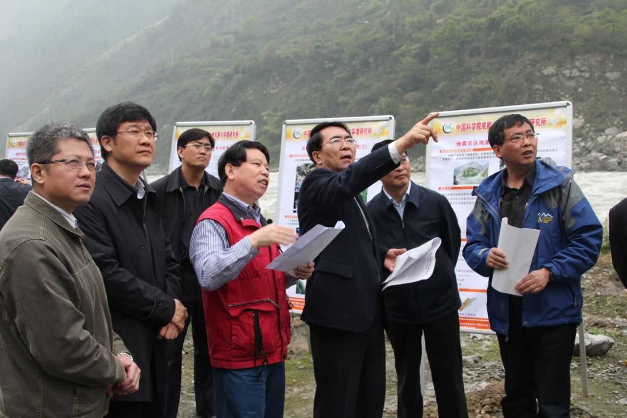
Right after the 4.25 Nepal earthquake, Dr Chen Ningsheng, Dr Hu Guisheng and Dr Deng Mingfeng from Institute of Mountain Hazards and Environment, Chinese Academy of Sciences (IMHE-CAS) together submitted to CAS a policy recommendation report on “Enhancing Mountain Hazard Management in the Southern Slopes of Himalayas in China in light of the Nepal Earthquake” based on their analysis on the region’s hazard history and impact on mountain areas. The report was accepted by CAS.
 |
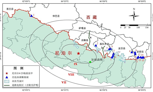
| Highly risky glacial lakes, landslides and debris flows and avalanche sites in the southern slopes of Himalayas in China (picture by IMHE) |
Based on the spacial distribution characteristics of earthquake impact on mountain hazards, the region’s hazard development history, influences on mountain hazards from earthquake, extreme weather, rock types and regional valley topography, the report emphasized the dynamic impact of earthquake acceleration and ensuing precipitation, and evaluated the riskiest regions prone to mountain hazards. The report indicated 15 risky glacial lakes in the region affected by the earthquake, 2 risky sections of national roads on the way to Zhangmu and Gyerong Dry Ports prone to landslides and debris flows, and 5 areas prone to avalanche at high altitudes. In particular, special attention should be paid to preventing potential hazards in Nyalam County town, Sino-Nepal Friendship Road, and Zhangmu Dry Port due to their social-economic status. In history, 4 large GLOFs, landslides and debris flows occurred in the BhoteKoshitransboundary river basin. Currently in this basin, 7 landslides, 3 debris flows and 5 risky glacial lakes were also identified and needed particular prevention measures. The report also provided recommendations for disaster risk reduction according to the characteristics of post-earthquake mountain hazards.
