Brief introduction:
We produced the glacial lake dataset in 2020 from Landsat and Sentinel images as well as glacial lake inventories in 1990 and 2000 from Landsat observation using an advanced object-oriented mapping method associated with rigorously visual inspection workflows. A range of critical attributes have been generated in the lake datasets, including lake types and mapping uncertainty estimated by an improved Hanshaw’s equation (2014). This glacial lake dataset has potentials to be widely applied in studies on glacial lake-related hazards and glacier-lake interactions.
Data processing:
A human-interactive and semi-automated lake mapping method [Wang et al., 2014; Nie et al., 2017; 2020] was adopted to accurately extract glacial lake extents using Landsat and Sentinel-2 images, based on the Normalized Difference Water Index (NDWI) [Mcfeeters, 1996]. Related pulications:
McFeeters S. K.. The use of the Normalized Difference Water Index (NDWI) in the delineation of open water features. International Journal of Remote Sensing, 1996, 17 (7): 1425 - 1432.
Nie Yong, Liu Wei, Liu Qiao, Hu Xu, Westoby Matthew J.. Reconstructing the Chongbaxia Tsho glacial lake outburst flood in the Eastern Himalaya: Evolution, process and impacts. Geomorphology, 2020, 370 (12): 107393.
Nie Yong, Sheng Yongwei, Liu Qiao, Liu Linshan, Liu Shiyin, Zhang Yili, Song Chunqiao. A regional-scale assessment of Himalayan glacial lake changes using satellite observations from 1990 to 2015. Remote Sensing of Environment, 2017, 189 (2): 1-13.
Wang Jida, Sheng Yongwei, Tong Tak Shun D.. Monitoring decadal lake dynamics across the Yangtze Basin downstream of Three Gorges Dam. Remote Sensing of Environment, 2014, 152 (0): 251-269.
Spatial coverage:
China-Pakistan Economic Corridor (72.5°-77.8°E; 34.5°-40.3°N)
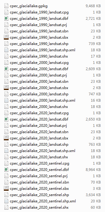
Data format:
Standard ESRI shapefile (*.shp, *.shx, *.sbx, *.sbn, *.dbf, *.prj, *.cpg, *.xml)
Geopackage 1.2.1 (.gpkg)
Data volume:
Standard ESRI shapefile 22M
Geopackage 1.2.1 9.24M
Recommended processing software:
All the vector (shape) files of this dataset are suggested to be opened and further processed by generic remote sensing or geographic information system software, such as Qgis, ArcMap, ENVI, ERDAS.
Recommended citation:
Lesi, M. et al., 2022. Landsat and Sentinel-derived glacial lake dataset in the China-Pakistan Economic Corridor from 1990 to 2020. Mountain Science Data Center,DOI:10.12380/Glaci.msdc.000001. CSTR:1a006.11.Glaci.msdc.000001. (Reference:RIS)
Acknowledge:
The dataset is provided by Mountain Science Data Center
Contact information:
The dataset will be open access after the acceptance of submitted article. Before that, dataset are available on
reasonable request from the corresponding author.
Yong Nie (nieyong@imde.ac.cn)
Mountain Science Data Center, Institute of Mountain Hazards and Environment, Chinese Academy of Sciences
4-9, Renmin South Road, , Chengdu, China.
Preview:
Production: CPEC Glacial Lake Inventory (CPEC_GLI)
Latest version: Version 1.0 (December 2021)
 This work is licensed under a Creative Commons Attribution 4.0 International License.